Rangelands provide many ecological services including livestock forage, water retention and carbon sequestration making their health integral for soil health and air quality. However, restoration efforts of degraded rangelands have seen little success in recent years. It is thought that subtle ecological features, called microsites, are critical for plant growth outcomes. Autonomous robots offer a solution to indentify and intervene based off these subtle features, but the lack of relevant data in these environments is a limiting factor to getting highly granular, multi-seasonal data necessary for testing ecological hypotheses. In this paper, we introduce the Canyonlands Dataset, a large-scale, multi-modal dataset collected near to Canyonlands National Park in Southeastern Utah using an autonomous ground vehicle. The dataset includes high-resolution camera imagery, RTK-GPS trajectories, 3D lidar point clouds, and ground-truth vehicle odometry. To support reproducibility and foster research in autonomous environmental monitoring and restoration, we provide detailed documentation, calibration files, and code for dataset interaction.
System and Sensors
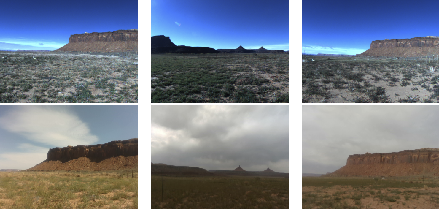
The Canyonlands dataset was collected in Canyonlands National Park in Utah, USA. We collected the dataset using a Clearpath Husky platform equiped with a Ouster lidar,
| Equipment | Model Name | Characteristics | Resolution | FoV | Sensor Rate |
|---|---|---|---|---|---|
| LiDAR | Ouster OS-64 | 200 m range | 64v x 1028h | 45° x 360° | 20 Hz |
| RGB-D Camera | Intel Realsense D455 | RGB: Global Shutter | 1280 × 800 | 90° x 65° | 30 Hz |
| IMU | MicroStrain 3DM-GQ7-GNSS/INS | ±8 g | 300 dps | - | 400 Hz |
| Network Interface Modem | MicroStrain 3DM-RTK Modem | 2 cm, 0.1° accuracy | - | - | 2 Hz |
| GNSS Antennas | u-blox ANN-MB-00 | - | - | - | - |
| Main Computer | Intel NUC | Intel i7 CPU @ 3.20GHz, 16GB RAM | - | - | - |
Table 1. Hardware Specifications.
Seasons
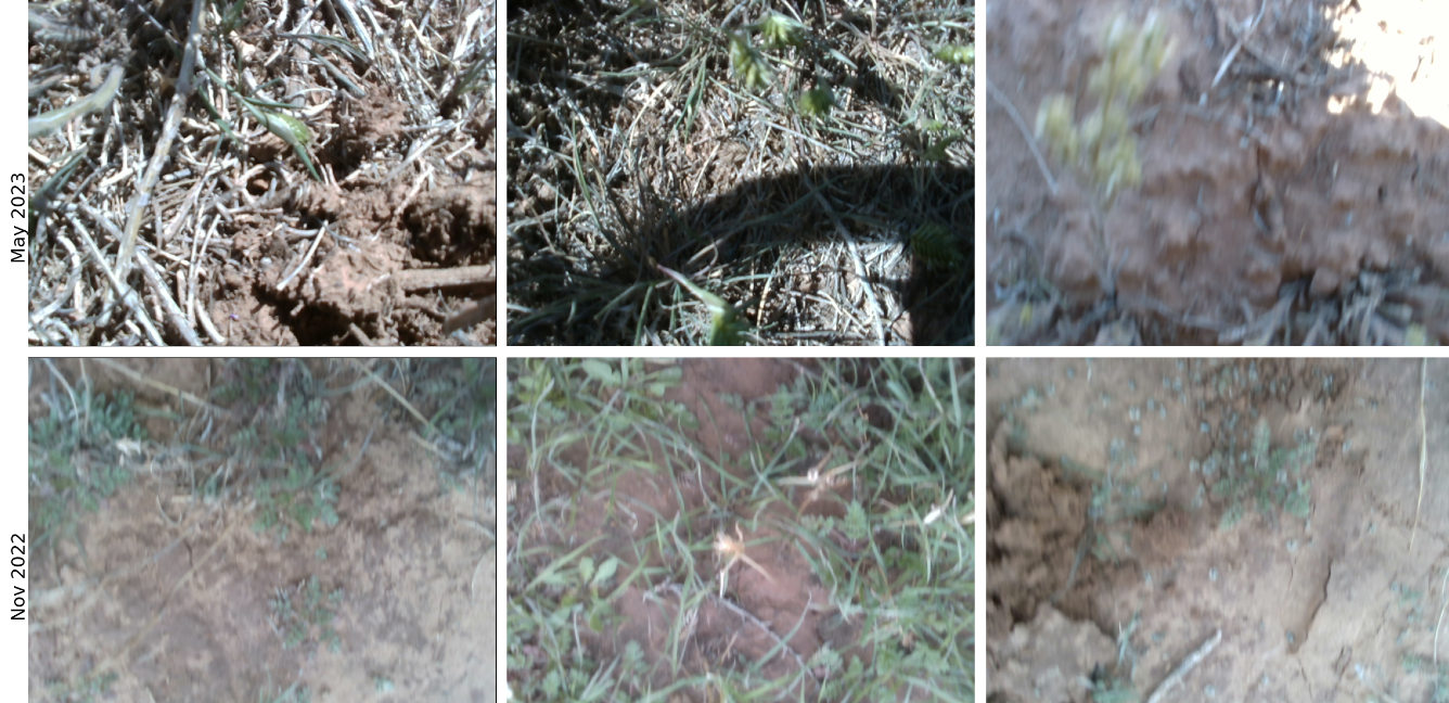
The Canyonlands dataset is broken into to separate data collection times: in November 2022 and May 2023.